


By Miles Flynn | Southern Indiana Business Report
WASHINGTON, D.C. — Three counties in the region saw growth in the last decade, according to data released Aug. 12 for the 2020 census, while five others experienced decreases in population.
Daviess County is home to the largest percentage of increase in the region. Growth of 1,733 residents (5.5%) brought the county’s population up to 33,381.
Dubois County grew by 1,748 (4.2%), bringing the county population to 43,637.
Orange County is up 27 residents (0.1%), for a population of 19,867.
Greene County saw the sharpest decline in the region, losing 2,362 residents (7.1%) for a population of 30,803.
Martin County reported a drop of 522 people (5.1%) and a population of 9,812.
Lawrence County’s population dropped by 1,123 (2.4%) to 45,011.
Crawford County had a decrease of 187 (1.7%) and a population of 10,526.
Washington County saw a drop of 80 (0.3%) and a population of 28,182.
The eight counties combined experienced a decrease of 766 residents (0.3%) and a total population for 2020 of 221,219.
Statewide numbers
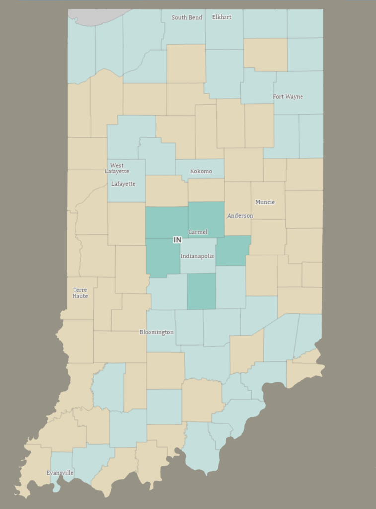
Indiana’s population grew by 301,726 (4.7%) for the period to end up at 6,785,528. That growth was fueled largely by increases in metropolitan areas. In fact, Marion County and its seven contiguous “doughnut” counties accounted for 74.8% of the state’s total growth. Five of those counties were the only ones among Indiana’s 92 counties to report percentage of increase numbers in double digits, and three of them — Boone, Hamilton and Hendricks — saw growth in excess of 20%.
Overall, the state’s 12 most-populous counties saw growth from 2010 to 2020, including the counties that are home to Indiana’s 10 largest cities.
National overview
The 2020 census shows that the resident population of the United States, including the 50 states and the District of Columbia, was 331,449,281 as of April 1, 2020, an increase of 7.4% since 2010.
Just as in Indiana, the national count highlighted growth in metro areas. The population of U.S. metro areas grew by 9% from 2010 to 2020, resulting in 86% of the population living in U.S. metro areas in 2020, compared to 85% in 2010.
“Many counties within metro areas saw growth, especially those in the south and west. However, as we’ve been seeing in our annual population estimates, our nation is growing slower than it used to,” said Marc Perry, a senior demographer at the Census Bureau. “This decline is evident at the local level where around 52% of the counties in the United States saw their 2020 census populations decrease from their 2010 census populations.”
What happens next
States may use census data in redrawing legislative district boundaries, and the Census Bureau will deliver the final redistricting data toolkit to all states and the public by Sept. 30. Indiana is required to redraw its districts for the U.S. House of Representatives, the Indiana House of Representatives and Indiana Senate following the nationwide census every 10 years. Legislators are expected to return to the Statehouse in mid-to-late September to redraw the district boundaries.